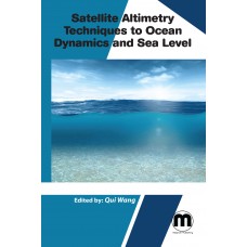
Satellite Altimetry Techniques to ocean dynamics and sea level
- Price $155.00
- ISBN: 9781682506943
- Availability: In Stock
The satellite altimeter is an instrument that can make a global measurement of the surface topography. Satellite altimeters measure sea surface height and other characteristics of the ocean surface, which are linked to underlying processes and structures. This book provides a state-of-the-art overview of the satellite altimetry techniques and related missions, and reviews the most-up-to date applications to ocean dynamics and sea level. In this book, researchers from different disciplines present recent advances in the field of radar and laser altimetry including new and future altimetry missions and their applications in spatio-temporal monitoring of earth systems on different scales.
Print ISBN: 9781682506943| $ 155 | 2021 | Hardcover
Subject: Environmental Science
Editor: Qui Wang


