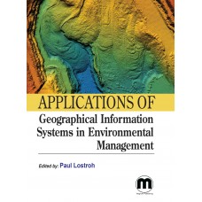
Applications of Geographical Information Systems in Environmental Management
- Price $165.00
- ISBN: 9781682508855
- Availability: In Stock
Geographical Information Systems (GIS) facilitate the collection, analysis, and visualization of spatial data for environmental management. By integrating various data layers, including land use, terrain, and hydrology, GIS enables effective planning, monitoring, and decision-making to address environmental challenges like urbanization, deforestation, and pollution. This book highlights the applications of GIS in analyzing spatial data, mapping environmental patterns, and supporting decision-making processes, making it an essential resource for professionals in the field of environmental management.
Print ISBN: 9781682508855 | $ 165 | 2024 | Hardcover
Subject: Environmental Science
Editor: Paul Lostroh
About the Editor: Paul Lostroh is an accomplished researcher and educator in the field of Remote Sensing and GIS. With an MSc and Ph.D. in the subject, he has contributed significantly to the study of environmental and global changes. Paul has an extensive publication record, co-authoring over 100 papers and presentations in renowned national and international magazines. His expertise extends to teaching as well, where he imparts knowledge on topics such as Geographic Information System (GIS), Quantitative Remote Sensing, and Digital Image Processing to MSc and PhD students.


